
Washington ZIP Families at a Glance
This Washington ZIP code directory uses grouped prefix families because the state publishes its current code inventory as a quarterly download, not as a fixed list of every delivery point. The table names broad postal regions and cities associated with those prefixes. A family is not one ZIP, a neighborhood boundary, or a complete list of post offices. Use the live postal and Department of Revenue files to verify an active five-digit code or ZIP+4 for an exact address.
| ZIP family | Washington areas covered | Post-office places represented | Boundary notes |
|---|---|---|---|
| 980xx | Seattle, Eastside, and King County delivery areas | Seattle, Bellevue, Redmond, Renton, Kent, Auburn, Federal Way, Issaquah, Mercer Island | Crosses city lines and unincorporated King County |
| 981xx | Seattle and high-volume delivery zones | Seattle | Includes unique and PO-box zones; postal place is not a legal boundary |
| 982xx | Snohomish, Skagit, Whatcom, Island, and San Juan counties | Everett, Marysville, Bellingham, Mount Vernon, Anacortes, Oak Harbor, Friday Harbor | Island, rural-route, and PO-box areas complicate map shapes |
| 983xx | Tacoma/Pierce, Kitsap, Olympic Peninsula, and south Puget Sound | Tacoma, Bremerton, Port Orchard, Gig Harbor, Olympia-area routes | Unincorporated and military/PO-box delivery can cross place lines |
| 984xx | Tacoma-area delivery | Tacoma | Some codes are unique or PO-box zones, not a neighborhood polygon |
| 985xx | Olympia/Thurston, southwest Washington, and coastal routes | Olympia, Centralia, Chehalis, Shelton, Longview-area communities | Postal city can differ from the incorporated city |
| 986xx | Southwest Washington and rural Clark, Skamania, and Klickitat routes | Vancouver, Camas, Battle Ground, Washougal, Ridgefield, Stevenson, White Salmon | Clark County GIS has a USPS ZIP layer; rural routes span areas |
| 988xx | North-central and east-central Washington | Wenatchee, Moses Lake, Okanogan, Grant, and Douglas areas | Rural delivery and PO boxes require current USPS checking |
| 989xx | Yakima and central/southeast routes | Yakima and nearby rural counties | Does not follow county or city lines |
| 990xx | Spokane, Palouse, and northeast/eastern counties | Spokane, Spokane Valley, Cheney, Pullman | Local neighborhood maps use a different civic geography |
| 991xx | Rural eastern Washington, Columbia Basin, and Palouse | Small post offices across eastern counties | Rural routes and PO boxes are common |
| 992xx | Spokane urban and high-volume delivery areas | Spokane | ZIP edges do not match neighborhood-council lines |
| 993xx | Tri-Cities, Walla Walla, and southeast Washington | Pasco, Kennewick, Richland, Walla Walla | Benton and Franklin county lines need separate checking |
| 994xx | Far southeast Washington | Clarkston and Asotin-area delivery | Border and post-office geography may differ from city limits |
| 995xx and above | No ordinary Washington 5-digit delivery family expected in the standard mainland list | Verify any apparent match in current USPS and DOR data | Do not infer an absent code from a map |
| Leading-zero tribal-area ZIPs | Some federal tribal-area delivery points | Check the current DOR and USPS files | Keep ZIP as text so a spreadsheet does not drop the first zero |
Do not use the grouped prefixes to infer that a ZIP exists, is active, or serves a particular street. The research did not locate an official static Washington-by-ZIP table with full post-office boundaries. The current Department of Revenue downloadable database is the complete statewide machine-readable source identified here; it is updated quarterly and includes five-digit and ZIP+4 files.
Start With USPS for an Exact Washington ZIP
When an address is known, use the USPS Address Lookup by address. USPS assigns delivery postal codes, while cities and counties assign street addresses for local service and land-use purposes. The exact-address result is the right place to check a route or ZIP+4. A city name typed on an envelope may be a postal label, not the incorporated city or the county that keeps the parcel record.
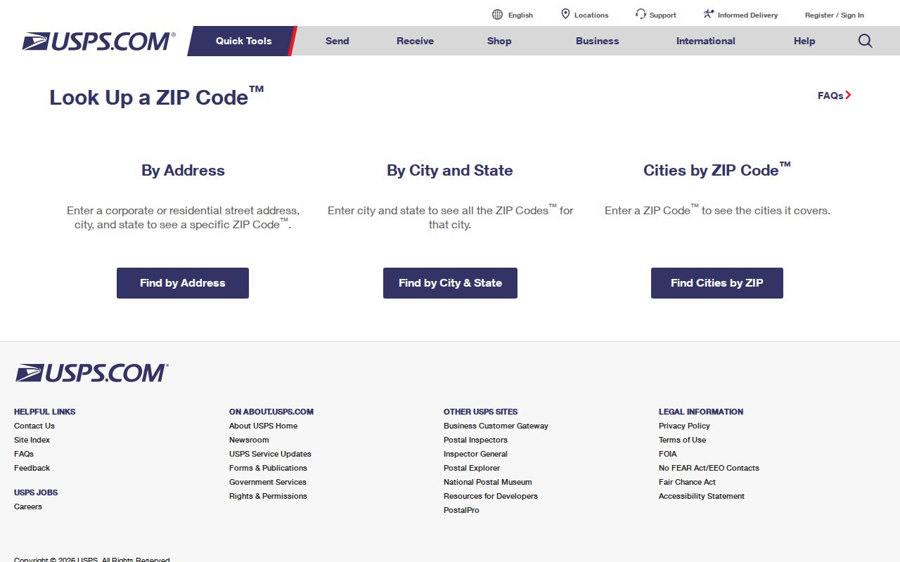
The USPS lookup answers a delivery question, not who lives at an address. Its page also offers paths to find ZIPs for a city and state or cities served by a ZIP, which can help when you know only a place or code. These routes do not create a resident roster, confirm current occupancy, or replace a county assessor, court clerk, elections office, or recorder. Record the address exactly as USPS returns it, then identify the county and local office separately. If an old street name, new unit, or rural route causes no match, check the local government's address or GIS record as well.
Use the official USPS address search to confirm the Washington delivery ZIP and ZIP+4.
Once the postal result is clear, carry the same address into the county parcel search to find the public record custodian.
Use Washington's Quarterly ZIP Inventory
The Department of Revenue file is the current official statewide source located for active ZIP data. Its downloadable database includes quarterly five-digit and ZIP+4 files. This is more useful for a complete inventory than a hand-built web table because route assignments and valid codes can change. Keep the file's update period with any list you make, and treat the ZIP field as text. DOR notes that a few valid Washington codes in federal tribal areas begin with zero, which spreadsheet software can remove if a column is read as a number.
The DOR page is a download source, not an interactive name or resident search. It supplies postal codes for tax-rate and delivery-area work; it does not say which people live in a ZIP. For one address, check USPS. For a current statewide code file, download the newest quarter and retain leading zeros. For a parcel, identify its county and use that county's assessor or GIS.
This distinction matters when an old spreadsheet has an incomplete or malformed code. A missing leading zero can point to the wrong place or fail to match a current record. A stale prefix map may also omit a new route or unique delivery code. Always write down the source date and confirm a specific address with USPS before using the ZIP as a key.
Find Washington Residents by ZIP
A ZIP can narrow a local search, but there is no common Washington assessor form with the same filters in all 39 counties. County property reports may display a ZIP, and some advanced searches accept one; the fields and date ranges are local. The inspected King County Parcel Viewer searches an address, parcel number, or condo name. It does not show a ZIP-only browse field, though a parcel summary may display the ZIP. Other counties can offer different address filters or a map layer.
- Confirm the exact delivery ZIP with USPS, and keep it with the full street address and unit.
- Use the State Treasurer's county assessor list to identify the county that holds the parcel.
- Check that county's assessor search fields; use a ZIP filter only if that portal offers one.
- Open the GIS parcel or ZIP layer to check the location, then use the parcel number or legal description for the record trail.
- For voter information, use VoteWA only for the registrant's own account or follow the State VRDB request rules; neither is an open ZIP-wide resident search.
That route moves from postal code to parcel custodian without treating the ZIP as a list of residents. County GIS viewers can add a map selection or ZIP layer, but a drawn area is still a finding aid, not a legal boundary or title record. The statewide assessor directory is the practical first stop for the county link; use the county page or counter for its exact filters and older record access.
Washington ZCTAs Are Not USPS ZIPs
The Census Bureau's ZIP Code Tabulation Areas are generalized statistical areas built from Census blocks. They help map and compare broad population areas, but they are not the postal delivery routes that USPS assigns. A ZCTA may not exist for a ZIP with no Census blocks, and its shape can lag or differ from a delivery route. The Census guidance on ZCTAs explains why the two labels should not be swapped.
| USPS delivery route | Postal geography used to sort mail; confirm an exact address in the USPS lookup. |
|---|---|
| Census ZCTA | A generalized map area built from Census blocks for statistical use; not an exact delivery boundary. |
| County parcel | A local land record with a parcel number and legal description; use it to identify the county office. |
Keep the source type with every mapped result. A Census ZCTA layer can help describe a region, but a ZIP code directory that claims exact resident coverage from a ZCTA map would overstate what the map shows.
Washington ZIP Codes Cross City Lines
A ZIP can span an incorporated city and unincorporated county land, cross a county edge, or use a nearby postal city. In southwest Washington, the 986xx group includes Vancouver and rural Clark, Skamania, and Klickitat delivery areas. In southeast Washington, 993xx coverage includes the Tri-Cities and areas on both sides of the Benton and Franklin county line. Those examples explain the mismatch, but do not assign a particular street to a code; use USPS and county GIS for that.
Washington's record geography is layered. A single address can sit in a county, city or unincorporated area, postal place, school or fire district, tribal jurisdiction, and neighborhood program. A ZIP name does not decide which government keeps a deed, court file, local permit, or voter record. Identify the record's custodian from the address and event, then follow the applicable county or state process.
Check both labels. Keep the USPS postal city and ZIP beside the legal city or county from GIS. They can describe the same address in different ways and answer different questions.
Terms for a Washington Postal Search
Several postal terms can point to different kinds of delivery areas. Knowing the distinction helps when a prefix table, parcel map, or old directory uses a place name that does not match the current mail label.
- ZIP+4
- The four-digit extension after the five-digit ZIP that narrows mail to a delivery segment or group of delivery points; use USPS for an address-specific result.
- PO-box-only ZIP
- A code used for post-office-box delivery rather than a broad street-address area; it may not map as a neighborhood.
- Unique ZIP
- A code assigned to a large organization or high-volume destination, not necessarily a general residential route.
- Carrier route
- A mail-delivery route within a postal area. It is not the same as a street, city, parcel, or census tract.
A parcel number and legal description are more stable keys for land records than a postal label. County parcel formats vary, and a legal description may use lot and block, a plat, a condominium unit, or a land-survey description. If the street name changed or an address is missing, carry the county and parcel number into the assessor or recorder search.
Use Washington ZIP Clues with Care
Directories and older newspapers may use a town name, telephone exchange, route, or postal place that changed over time. A present-day ZIP should not be pasted onto an older address without checking the street, county, and year. In historic research, search the directory under a neighboring city or county title when the place did not publish its own volume. A dated listing can point to an address, but it does not prove that the modern ZIP boundary covered that point in the same way.
After USPS and the county parcel search narrow a known location to a street, the Washington street directory process follows the address through county records. Keep the postal code as a routing clue and the parcel, court, or voter record as a separate public record. For a voter file, remember that county scope may be requested, but the State VRDB does not offer a public ZIP-wide query; VoteWA is for the registrant's own sign-in.
The grouped postal guide describes regions without claiming a complete street-by-street index. DOR's quarterly file and the USPS address tool provide a sound way to refresh the postal key, while local county systems supply the property data. Census ZCTA maps can support broad comparison, but they cannot fill the exact-address role.